Cayce Honored for Special Achievement in Mapping Technology
Cayce, S.C. – The City of Cayce earned high praise for its Geographic Information System (GIS) by Esri, the global leader for location intelligence. The city received Esri’s Special Achievement in GIS for its innovative use of mapping and analytics technology and leadership in the field of local government. Cayce was selected from more than 300,000 candidates.
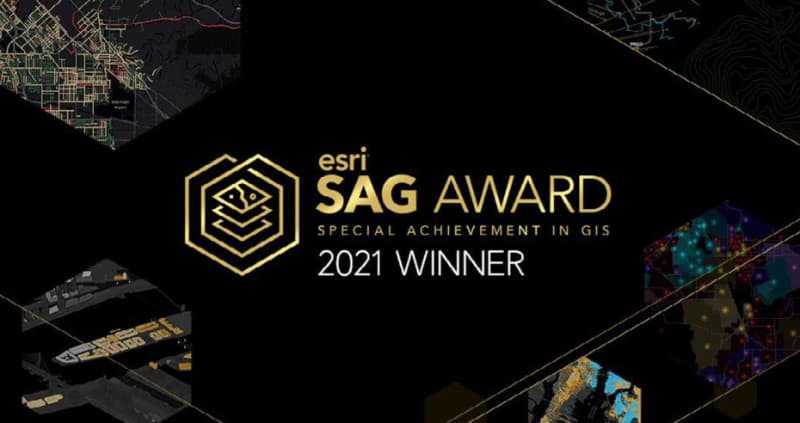
The award was officially announced at the SAG Awards during the annual Esri User Conference. The SAG Awards demonstrate an appreciation for organizations using GIS to understand complex data and meet challenges worldwide. Cayce was one of 193 global organizations from among the commercial industry, defense, transportation, nonprofit work, telecommunications, and government sectors to be honored.
Cayce received the award due to integrating brand-new GIS technologies into the city’s day-to- day operations. Also factored was the speed with which the city dramatically moved forward its GIS capabilities in only a few years.
“It is truly an incredible honor for the City because we were selected based on recommendations from other GIS professionals,” said Tracy Hegler, Cayce City Manager. “Our staff, notably GIS Analyst/Technician, Robert Hawks, works incredibly hard on this technology, and it’s great to see that work is getting noticed.”
For more information on how Cayce is innovating through the use of geospatial technology, visit https://caycesc.gov/.
This article was originally published on Tuesday, July 20, 2021.
Explore More
Contact Us
- City of Cayce
1800 12th Street
Cayce, SC 29033
803.796.9020
info@caycesc.gov - For All Media Inquiries
City of Cayce Spokesperson
Ashley S. Hunter
803-665-3676
ahunter@mpastrategies.com